


Castle Rock / Labrador Castle

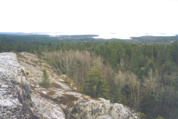
Labrador Castle, known as Castle Rock by the locals, is a granite ridge which juts above
the surrounding forest as the highest point of land inland of the East River exit (exit 7) on
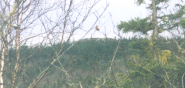
highway 103. Seen here in a photo taken from the top of the Exit 7 boulders, Castle Rock looks
both impressive and distant.
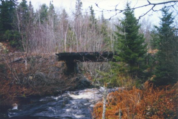
To reach Castle Rock you must access the old rail line where it crosses under the highway
just north of exit 7. The tracks were removed a decade ago, but the bridges are still there. Follow
the tracks inland. After crossing the East River take a right at the first logging road.
Follow the logging trail to where it ends, then head right across a clear-cut area. Look for a
marker of stacked stones. Go to it and head to the right (North East), cross a shallow gully and
head left (North) to the bushes at the end of the cleared area. A strip of trees was cut here for a
road, but no fill was brought in to cover the boulders which cover the ground, and now it has
grown over. If you fallow this poor excuse for a road it starts to improve until it is almost good
enough to drive a car on. (It must start on the other end somewhere.) There are some side trials
and roads which look like they might lead up to the ridge, but stick to the main road until you
come to
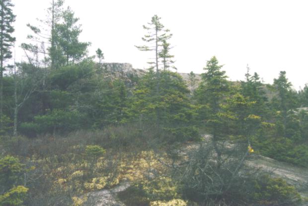
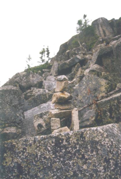
the trail marked with a yellow ribbon and stacked stones. (See photo)

This trail is clearly marked with yellow, pink, and orange ribbons. Once you get to the top
of the ridge the trail continues over granite outcrops. Your way is marked by ribbons and piled
stones.

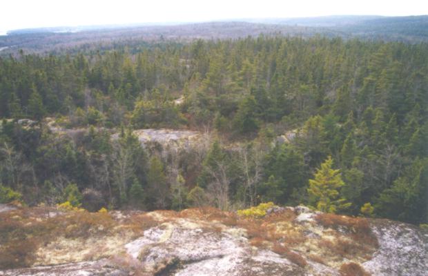
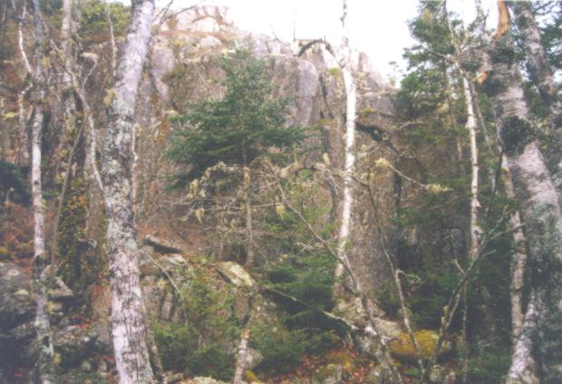
Soon you see Castle Rock in the distance.
And there it is.
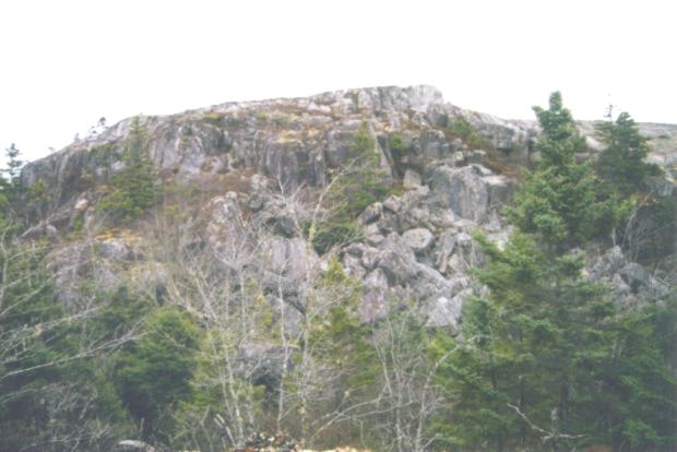
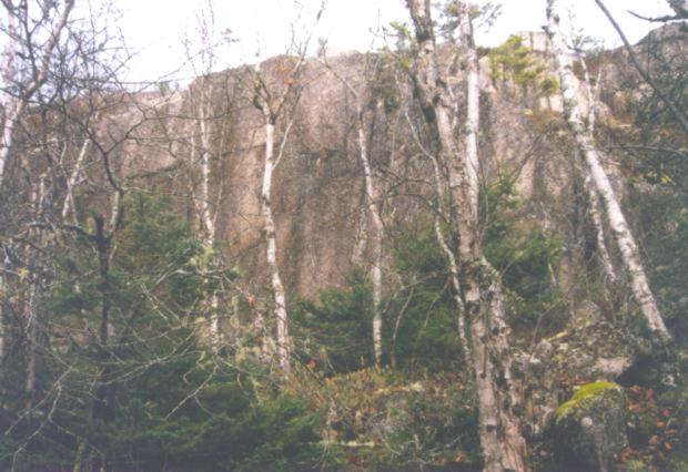
The view is rather impressive from the top.
Here you can see the highway in the upper left corner. It was quite a hike to get here, but
the view alone was worth it.
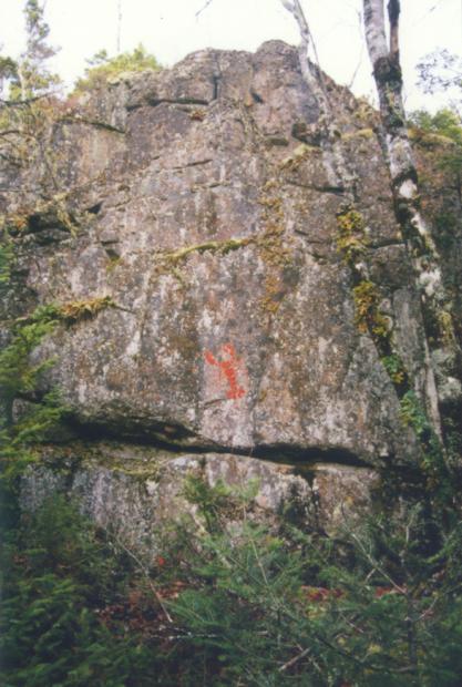
There are plenty of boulders, but not very many which are big enough to climb on.
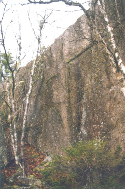
The best bouldering here is on a mini crag on the right as you approach. Here is the far left
of the wall.
This wall is over twenty feet high in places, so some of it is a bit highball. But the stone is
heavily featured, so the climbing would be good once it is cleaned.
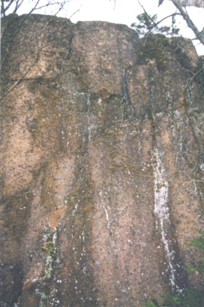
Yes, it would need a little cleaning. It looks moist, but there is no top soil above, so the
only thing that traps water is the moss on the face. It had rained the day before I took these
photos.
On the far right is the lobster wall. True Nova Scotian rock. There is a camp site with a fire
pit near this wall.
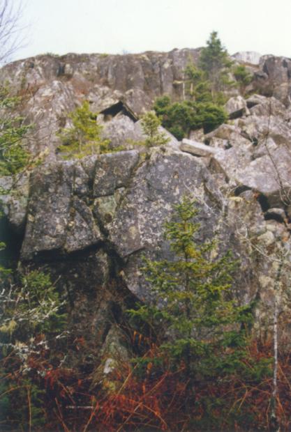
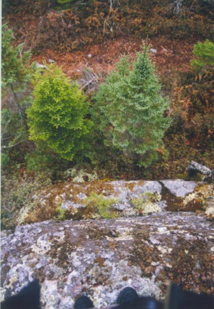
This shot is of a little wall behind Castle Rock. There is an ATV trail here which leads
down to a Christmas tree farm. A road from the Christmas tree farm appears to connect to the
dirt road which starts at the parking lot for the Exit 7 boulders.

I originally discounted this site as a bouldering destination due to the epic hike in, but I
have since examined a topo map of the area and noted that if you take the dirt road that starts by
the parking lot for the Exit 7 Boulders and follow it in to the Christmas tree farm just before the
power line cut and then drive as far as you can up the hill, you can get quite close. There is an
ATV trail which starts just a little way past the picnic table which will take you to the backside of
Castle Rock.


Webmaster: tethc@yahoo.com
Last updated: Dec 10, 2001